


Pagina niet gevonden / Page not found
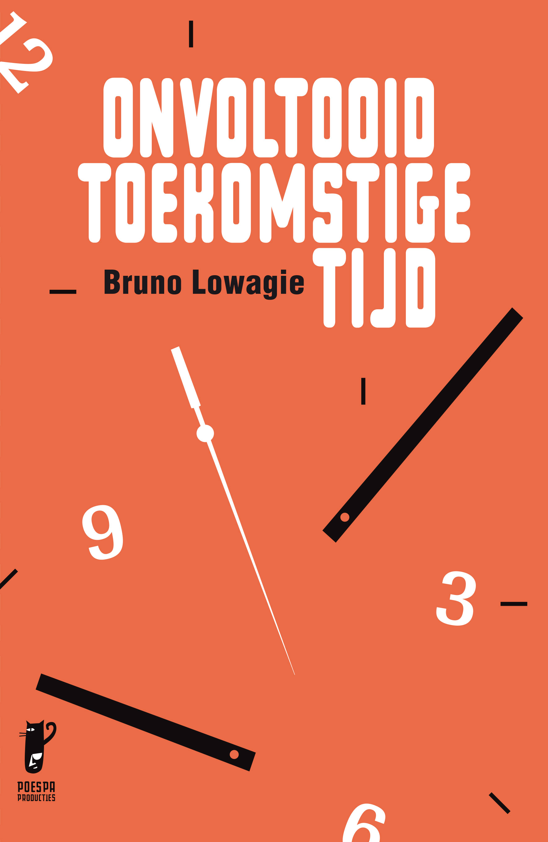
Onvoltooid toekomstige tijd
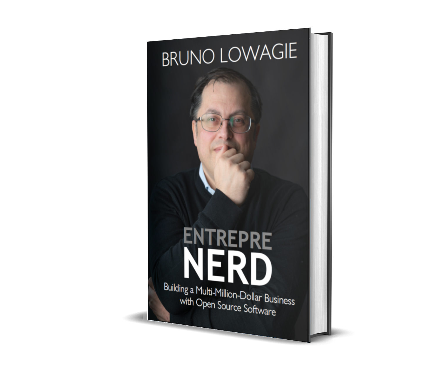
Entreprenerd
Wintercircus

Blog
- 2026-06-02:
Boxers Lot - 2026-03-11:
Wegens succes verlengd - 2026-01-25:
Waarom de Belgische meerwaardebelasting een ramp is voor de Belgische economie
Topics
© Bruno Lowagie (Wil-Low BV)
Privacy Policy Terms & Conditions